

Define
Establish the project area, objectives, priority locations, stakeholders, and required outputs.
AUVRAN service
AUVRAN creates a structured, time-referenced record of existing project, asset, and surrounding conditions before construction, rehabilitation, installation, or other physical intervention begins.
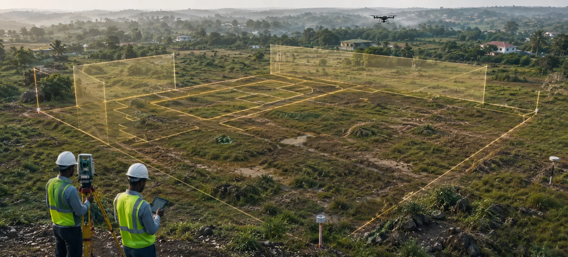
Proof Before Progress.
Without a reliable pre-project record, it can become difficult to determine which conditions existed before the works, what subsequently changed, and where responsibility may lie.
Planning and engineering assessment
Verification of initial site conditions
Change detection and comparison
Stakeholder and property protection
Claims and dispute prevention
Environmental and social documentation
Institutional accountability
Project scope
The scope is designed around the project and may include:
Project sites and work limits
Existing infrastructure and physical assets
Buildings, properties, access routes, and adjoining areas
Roads, drainage, utilities, and water systems
Terrain, vegetation, and environmental conditions
Areas of stakeholder or engineering concern
Existing defects, damage, and visible vulnerabilities
Decision-ready outputs
Outputs are configured around the project’s information, oversight, communication, and preservation requirements.
Georeferenced aerial and terrestrial imagery
Existing-condition orthomosaics and maps
Georeferenced 3D reality captures and existing-condition site scans
360-degree site documentation
Location-referenced photographs and video
Condition observations and issue registers
Interactive virtual project environments
Structured baseline reports
Secure digital project archives
A structured approach
Establish the project area, objectives, priority locations, stakeholders, and required outputs.
Systematically record site conditions using appropriate aerial, terrestrial, geospatial, and immersive methods.
Index collected information by location, date, asset, issue, or project section.
Deliver the baseline through reports, maps, visual records, interactive environments, or secure digital access.
Maintain the completed record as the reference point for future comparison, verification, and institutional use.
Who it supports
Government ministries and implementing agencies
Engineering consultants and supervising teams
Contractors and project developers
Development institutions and project financiers
Asset owners and facility managers
Environmental and stakeholder-management teams
Start with the project need
Tell us about the project, its current stage, and the information challenge. AUVRAN will help structure the appropriate response.
Request a Project Briefing